
QGIS Free Download for Windows – GIS Mapping Tool
What is QGIS Free Download for Windows – GIS Mapping Tool?
The QGIS free download gives you a professional, open-source Geographic Information System to create, edit, and analyze maps on Windows. Moreover, formerly known as Quantum GIS, it handles vast amounts of vector, raster, and mesh geospatial data with ease. Because it is free and open source, it offers a full alternative to costly tools like ArcGIS. Therefore, it suits students, researchers, planners, and GIS professionals alike. Built by the OSGeo community since 2002, QGIS stays completely free under the GPL license.
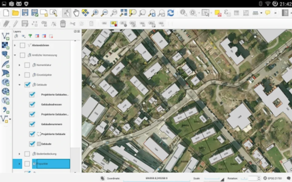
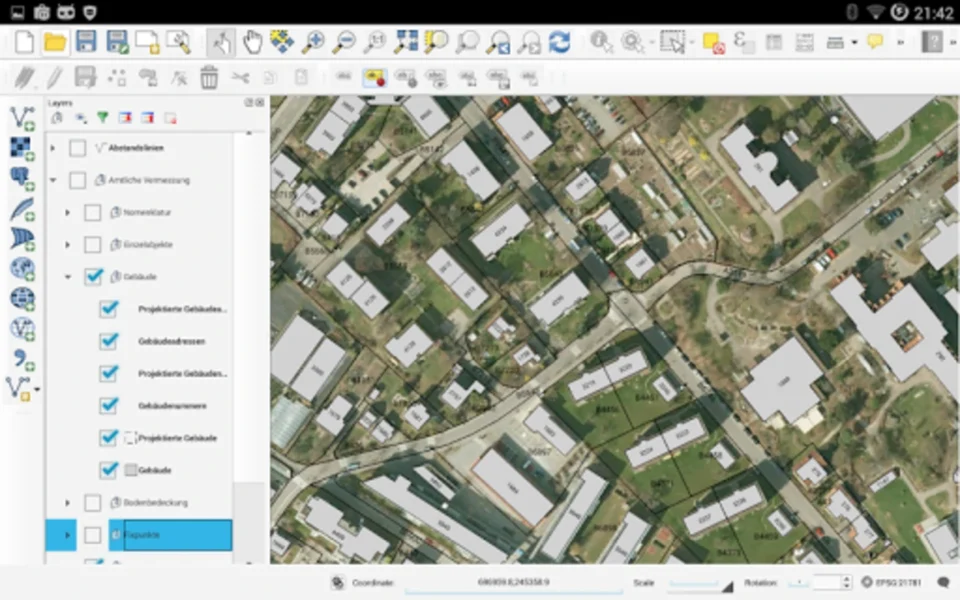
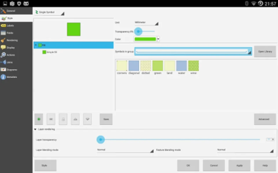
QGIS works by loading spatial data as layers that you can view, edit, style, and analyze together. As a result, you can build detailed maps and run complex geoprocessing without converting your files first. In addition, a huge plugin library and Python console let you extend it almost endlessly. For developers building geo apps alongside their GIS work, check out Flutter which helps you create cross-platform applications.
After testing it on a mapping project, layering shapefiles and raster imagery together took just a few clicks. Furthermore, the processing toolbox ran a full spatial analysis without any extra software. The QGIS free download is best suited to anyone who works with maps and location data. According to Wikipedia, QGIS is a free and open-source GIS that supports viewing, editing, and analysis of geospatial data.
Why Use This Software?
- The QGIS free download gives you pro GIS power at zero cost.
- Moreover, it fully replaces expensive tools like ArcGIS for most work.
- In addition, broad format support means you rarely convert files.
- Furthermore, the plugin library adds almost any feature you need.
- Also, the Python console automates repetitive mapping tasks.
- Besides, print layouts turn your data into polished, shareable maps.
- Finally, it is free, open source, and backed by an active community.
Screenshots
Key Features
- 🗺 Full Map Creation – Builds, edits, and styles detailed maps easily.
- 📊 Vector and Raster Support – Handles shapefiles, GeoTIFF, GeoPackage, and more.
- 🧮 Spatial Analysis – Runs geoprocessing and analysis with the toolbox.
- 🧩 Plugin Library – Extends features with hundreds of community plugins.
- 🐍 Python Console – Automates tasks and builds custom tools with Python.
- 🌐 Web Services – Connects to WMS, WFS, and WCS data sources.
- 🗄 Database Support – Works with PostGIS, SpatiaLite, Oracle, and SQL Server.
- 🖨 Print Layouts – Composes print-ready maps with legends and scale bars.
- 🌍 Multi-Projection – Views mixed data and projections without conversion.
- 🆓 Free and Open Source – No cost, released under the GNU GPL license.
How to Install
- Download the QGIS installer from the link below.
- Run the setup file and follow the wizard.
- Choose the standalone installer for the stable release.
- Launch QGIS and create a new project.
- Add your data layers and start mapping.
- Also try NetSpot to survey and map WiFi coverage for location-based projects.
System Requirements
| OS | Windows 10 and 11 (64-bit) |
| CPU | Multi-core Intel or AMD Processor |
| RAM | 4 GB minimum, 8 GB recommended |
| Storage | 2 GB free disk space |
| Display | 1280×768 resolution or higher |
| GPU | OpenGL support for 3D features |
Pros and Cons
Pros
- Completely free and open source
- Strong ArcGIS alternative
- Wide data format support
- Huge plugin library
- Python scripting support
- Advanced spatial analysis
- Print-ready map layouts
- Web service integration
- Cross-platform support
- Active community and updates
Cons
- Steep learning curve for beginners
- Large download and install size
- Can feel heavy on older PCs
- Some plugins vary in quality
- Interface can overwhelm new users
- Occasional crashes with big data
- Documentation can be technical
- 3D features need good hardware
- Not a casual, simple app
- Requires GIS knowledge to master
Power Tips
Conclusion
The QGIS free download is one of the most powerful open-source GIS tools you can get for Windows. It lets you create, edit, analyze, and publish maps and geospatial data with support for countless formats and a rich plugin ecosystem. Moreover, features like the Python console, spatial analysis toolbox, and print layouts make it a true professional-grade platform.
In real-world use, QGIS is best suited to students, researchers, planners, and GIS professionals who want ArcGIS-level power without the price. While it has a learning curve and a large install size, its capabilities and zero cost are hard to beat. Therefore, if you work with maps and location data, the QGIS free download is a must-have for your Windows PC.


Comments (0)